
Talipanan Falls, Puerto Galera: A Half-Hour Walk to Two Tiers
The trail starts at the Iraya-Mangyan Village and climbs through forest and stream crossings to a two-tiered waterfall with a shallow basin — short enough for an afternoon.

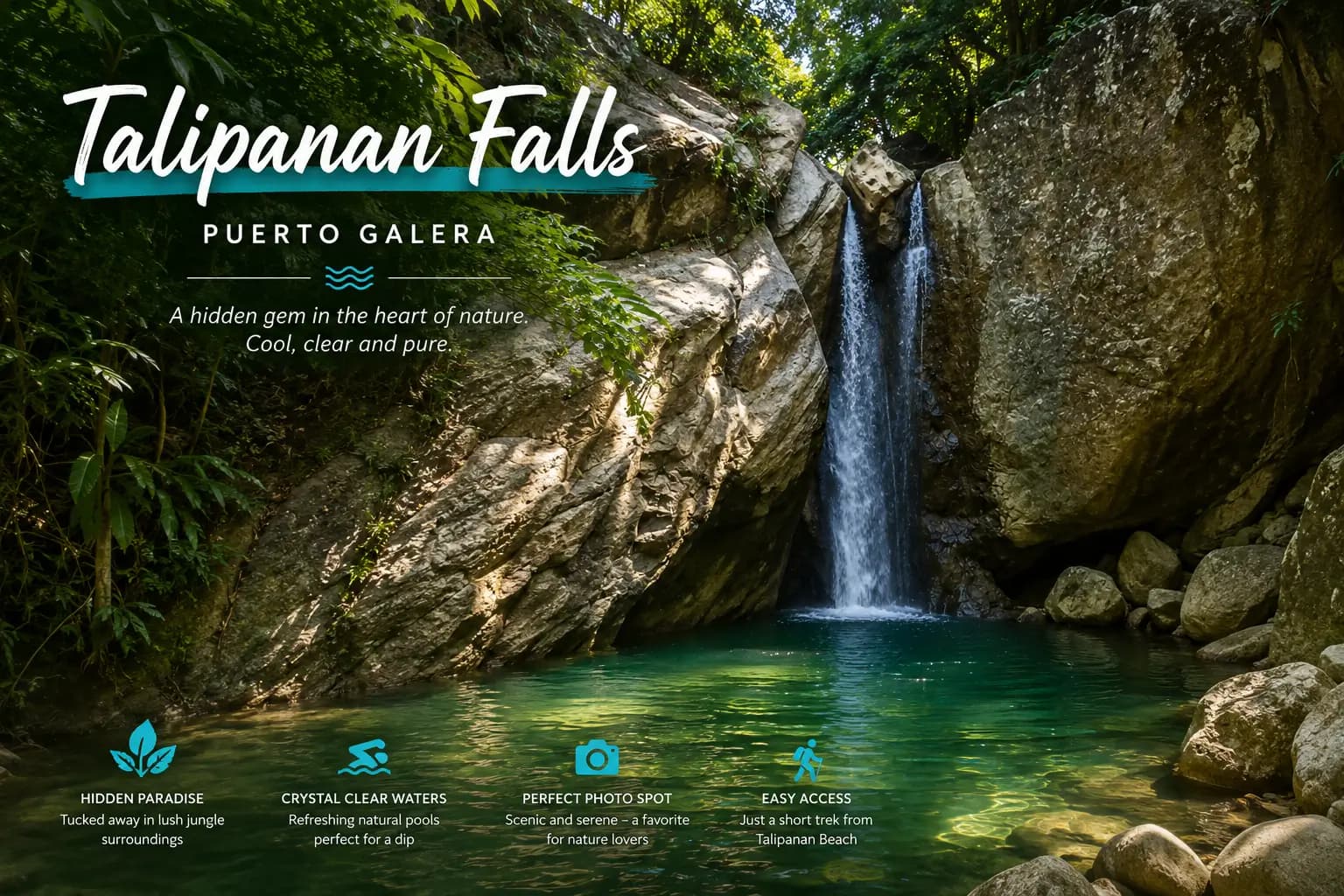
Talipanan Falls is the walk you do after the beach. The trail starts at the Iraya-Mangyan Village at the western end of the peninsula and climbs through forest and across streams to a two-tiered waterfall with a basin shallow enough to stand up in.
The provincial tourism office puts the walk at about 30 minutes uphill from the village, and describes it as passing “through the forests and a number of streams”. It is a real trail, not a staircase, but it is short.
The walk
You gain height steadily from the village and cross the stream several times on the way up. In the dry months the crossings are a matter of stepping between rocks. After rain they are not — the water rises quickly on this side of Mt. Malasimbo, and a crossing that was ankle-deep in the morning can be knee-deep and pushing by the afternoon.
Thirty minutes is the honest number, and it is thirty minutes of climbing rather than strolling.
The forest closes over the path early on, which is the main mercy of the walk: you are climbing in tropical heat, but you are doing it in shade. The sound arrives before the falls do — you will hear water for several minutes before there is anything to look at, and the last stretch is the steepest.
Guides from the community can be hired at the trailhead. You do not strictly need one to find the falls, but hiring one is how the walk puts money into the village you just walked through, and they will read the stream better than you will. On a first visit, after rain, that reading is the whole value.
At the falls
The falls come down in two tiers into a basin the province describes as “not so deep” — which is the point. It is a wading and standing-under-it pool rather than a diving one. Do not jump into water you have not walked into first; the depth changes with the season and there is rock under it.
The upper tier feeds the lower one over a shelf, so what you are standing under is the second drop rather than the whole fall. The water comes off the mountain cold enough to be a shock in the middle of the day, which after half an hour of climbing is exactly what people come for.
When to go
The trail and the falls pull in opposite directions across the year, and it is worth knowing which one you are optimising for.
- Through the habagat — the southwest monsoon, roughly June to October — the falls are full and loud, and the stream crossings are the hard part. Rain upstream can change the trail while you are on it.
- Through the amihan — the northeast monsoon, roughly November to February — the crossings are easy, the air is cooler for climbing, and the falls are thinner.
Either way, go in the morning. The climb is unpleasant in afternoon heat, and the light in the gorge goes early because of the trees.
What to bring
- Shoes with grip, that you do not mind soaking. The trail is earth, rock and stream. Flip-flops are how people turn ankles here.
- Water and cash. There are no stalls on the trail, and the guides are paid in cash at the trailhead.
- An early start. Cooler, and it leaves the afternoon for the beach — which is the natural order of this particular day.
- A dry bag or a sealed pouch. Between the crossings and the spray, anything you care about is going to meet water.
Making a day of it
The village and the falls are minutes apart and pair into a straightforward half day: the Iraya-Mangyan Village first, where the nito vine weaving is usually being made rather than just sold, the falls after, then back down to Talipanan Beach for the rest of the afternoon. If you want the second waterfall on this coast, Aninuan Falls is the neighbouring barangay's.
Doing the village first rather than last matters more than it sounds. You pass through it either way, but arriving before the climb — dry, unhurried, with the walk still ahead of you — is a different visit from stumbling back through it soaked and ready for lunch.
Inside the reserve
The forest you walk through is part of Puerto Galera's UNESCO Man and the Biosphere Reserve, designated in 1977. The stream you keep crossing is the same water the village downstream lives beside, which is the biosphere idea in its plainest form: the protection is not a fence around a view, it covers a working landscape with people in it. See A UNESCO Biosphere Reserve.
Practically, that means the usual: carry everything out, including fruit peel, and do not wash anything with soap in a stream that people downstream are drawing from.
Where it fits
For the roadside waterfall that needs no walking at all, see Tamaraw Falls — the two make a good pair precisely because they are opposites. Everything else on the peninsula is in Famous places & landmarks.
References & sources
- Provincial Government of Oriental Mindoro — Talipanan Falls, Travel Oriental Mindoro (location, walking time and the description quoted above).
- UNESCO — Puerto Galera, Man and the Biosphere Programme (MAB), designated 1977.
A note on the barangay: the province files Talipanan Falls under Aninuan, the neighbouring barangay, even though the trail is reached from the Talipanan side. Both are the same short stretch of coast.
Founders of GaleraHub focused on trust-first local marketplace operations in Puerto Galera.
Have a story to share about Puerto Galera?
Tips, guides, seller spotlights — tell us what the community should know.
Pitch a story